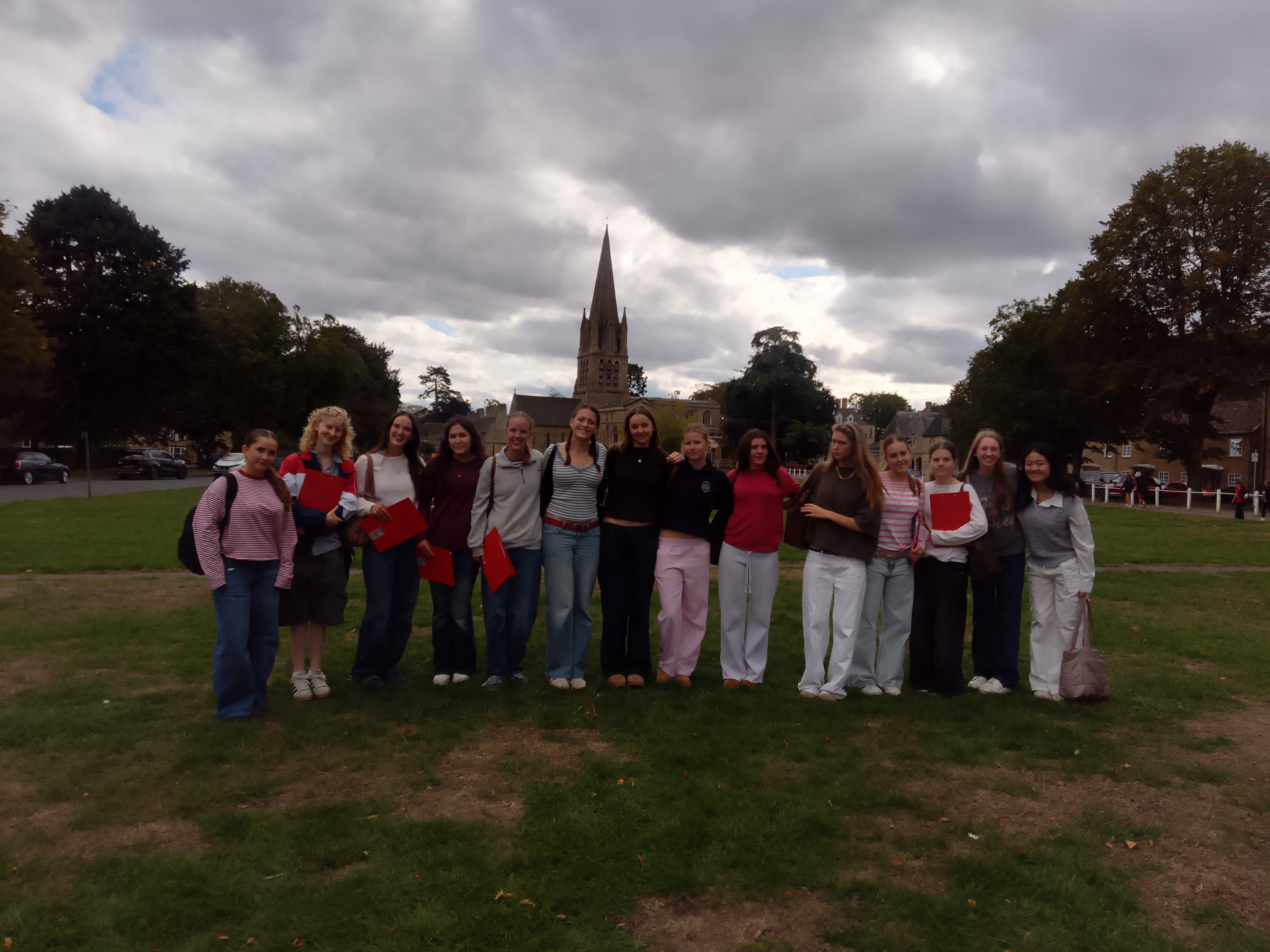

In our lessons, we have been looking at the geographical location and characteristics of Witney as part of our ‘sense of place’ topic. We have learnt that sense of place is subjective so no two opinions are the same and our research in Witney showed that this can vary dramatically between different people.
Our primary data source was a questionnaire that we asked members of the public around Witney. This allowed us to understand different people’s sense of the town as a place and their opinions on how it has changed over time. From this, we produced some interesting results, highlighting the mixed opinions that can be found in a small town.
To evaluate land use, we used the RICEPOTS land surveying method so that we could record data more quickly. We then compared this to the 1890s, 1950s and 2020, using old land use maps to understand how it has changed over time.
At the same 20 sites, we recorded our emotions, using Survey123, and justified these to understand our own sense of place. For example, we felt anxious by a busy road but peaceful on the Church Green.
We also used ARC GIS Survey123 to complete an environmental quality survey and see how this differed at each of the sites, for example the effects of road works and traffic.
During the trip, we visited the Witney Blanket Hall where we listened to a talk by a local volunteer. He told us what life was like in Witney in the past and shared personal stories with us that made it more relatable and showed the sense of place he feels in Witney. The town is famous for its blankets that were made there between the late 17th century and 2002 and were even used by every member of the Royal Navy.
We also visited the art gallery to find out more about the perspective of locals and looked at the artworks to understand how the town is presented in different media.
Working in a group was fun and effective because we were able to get to know the other A level Geography students better and share tasks.